A new Youtube video is uploaded. You can check it out here:
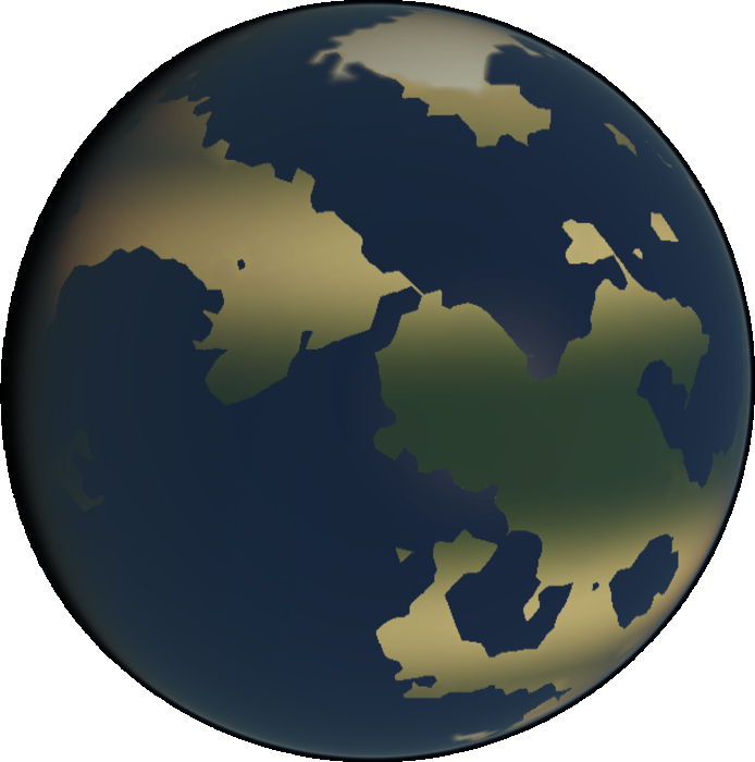
The new video is intended to demo the app for users who lack the required support for WebGL. The video also demos features for a new release to the model. Perhaps most noticeable, the application’s graphic shader now displays a number of additional biomes, including jungle, desert, taiga, and tundra. As with previous versions, colors for each biome are sampled from real satellite imagery. The method used to determine biomes is a simple function of latitude - you’d probably scoff if you saw the code. I largely intended to portray to world builders a first order approximation at where they could expect to find certain biomes in their world. The world builder can go from there, if so inclined. Considering the small amount of time that went into implementing this feature, I’m still very pleased with the result.
The second feature that comes with this update allows the user to view his world from a number of views and projections. This was something that had bogged down the development of the project’s predecessor, pyTectonics, however with this iteration the feature was implemented very painlessly with the extensive use of 3d shaders. The roles of views and projections are so well partitioned among fragment and vertex shaders that no additional code had to be written outside of glsl - events for projection and view controls map directly to a corresponding vertex and fragment shader. So far only two options exist for each shader type, but I expectt this will change as need arises.